Building thermography
See temperature patterns across the whole property.
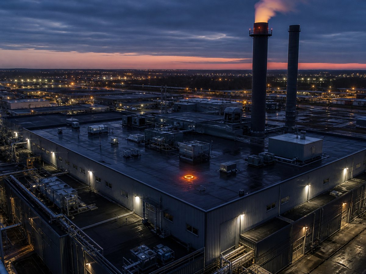
Aerial thermal imaging helps building owners, property managers, roofing contractors, facility teams, and inspectors review large or elevated surfaces from a consistent vantage point.
Commercial roof thermal inspections
Flat and low-slope roofs can be surveyed for unusual surface-temperature patterns that may indicate areas requiring closer investigation. Aerial coverage helps document large roof sections efficiently while reducing the need to access every area on foot.
Building-envelope and heat-loss screening
Thermal imagery can show temperature differences around rooflines, walls, windows, doors, penetrations, and transitions in the building envelope. When weather and indoor conditions are suitable, these patterns can help prioritize follow-up for possible insulation, air-leakage, or heat-loss concerns.
Industrial assets and solar arrays
Planned flights can collect comparable thermal and visible imagery for solar panels, mechanical areas, industrial equipment, storage facilities, and other difficult-to-access assets. The flight path and deliverables are tailored to the site and the question being investigated.
Conditions and interpretation matter
Sunlight, wind, rain, recent heating or cooling, roof material, reflections, moisture, and operating state can all affect thermal readings. We plan the collection window, record the conditions, and deliver clear imagery. Thermal patterns support investigation; confirmation, diagnosis, or certification outside the agreed scope may require the appropriate building, roofing, engineering, or electrical professional.
Clear project scope and useful deliverables
Before the flight, we confirm the address, target assets, suspected concern, access, airspace, safety constraints, preferred timing, and intended use. Deliverables can be scoped around radiometric thermal imagery, visible reference images, annotated findings, and organized files for your contractor or specialist.