01

Primary service
Lost pet search
Rapid assessment and aerial thermal search for missing dogs and other pets—especially near fields, trails, bush lines, and rural properties.
Lost pet search details

Thermal drone search & detection
Rapid-response aerial thermal searches for lost pets, livestock, and rural properties across Ontario.
Built for the search
Thermal Track Canada combines aerial heat detection, high-zoom imaging, and mapped search patterns to help narrow the search area quickly.
Thermal searching can be used across all types of environments, but performance is better in some conditions than others. Cooler temperatures, open terrain, and a recent sighting usually provide the clearest opportunity for detection. Every call starts with a no-pressure assessment.
Tell us what happenedWhat we search
Search and rescue remains our first priority, backed by planned aerial thermal inspections for buildings, roofs, solar arrays, and commercial assets.
Primary service
Rapid assessment and aerial thermal search for missing dogs and other pets—especially near fields, trails, bush lines, and rural properties.
Lost pet search details
Rural response
Thermal sweeps for escaped or missing cattle, horses, sheep, goats, and other livestock across large rural properties.
Livestock search details
Data collection
Non-invasive aerial observation and imagery support for landowners, farms, golf courses, and environmental teams. Game-animal recovery is also available as a secondary, case-by-case service.
Wildlife monitoring details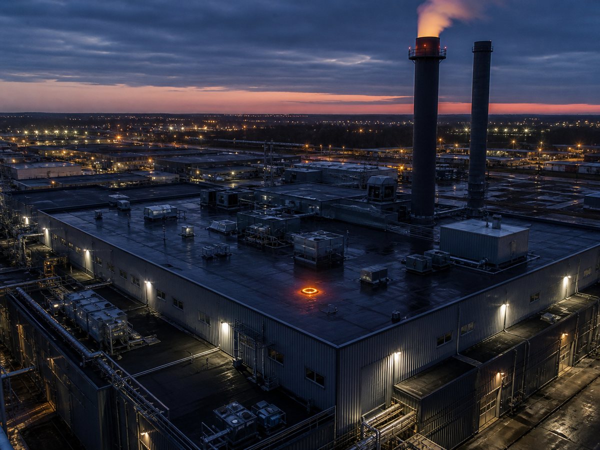
Commercial thermal imaging
Aerial thermal imaging for commercial buildings, flat roofs, heat-loss screening, solar arrays, industrial sites, and hard-to-access assets.
Building inspection details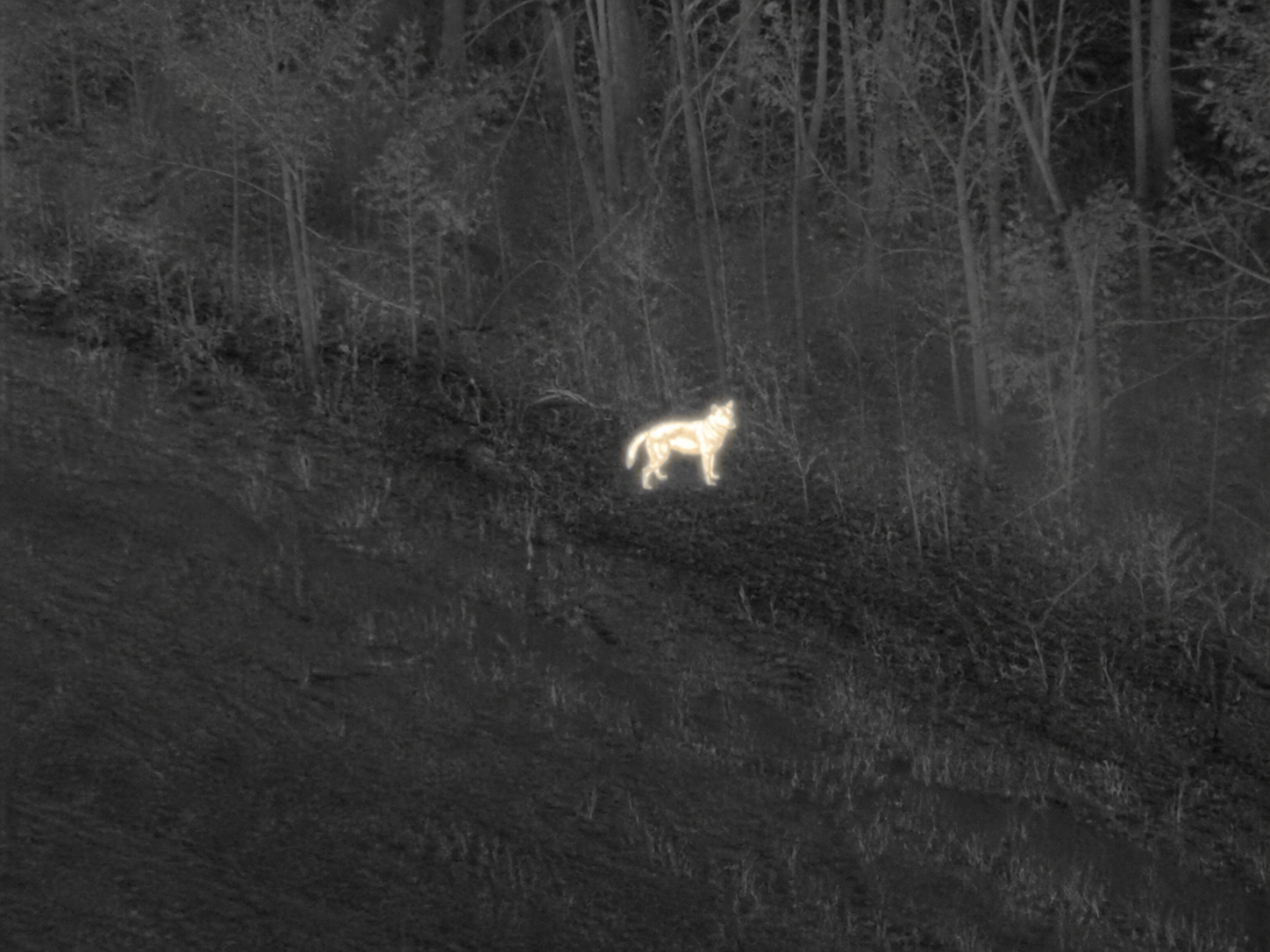
The response
Location, time, direction of travel, sightings, terrain, and a current photo.
We determine whether conditions, airspace, and terrain make an aerial thermal search worthwhile.
Priority areas are mapped and flown in overlapping patterns—not searched at random.
Heat signatures are checked with visual zoom and useful findings are relayed from above.
Straight answers
Thermal cameras detect temperature differences. They do not see through buildings or solid objects, but the aerial angle can reveal heat signatures through small gaps in surprisingly heavy canopy. Warm ground, distance, weather, and an outdated sighting can still affect detection.
That is why we assess first. If the situation is not suited to an aerial search, we will say so.
Service area
Primary service coverage across Southern Ontario, with travel beyond the highlighted area assessed case by case.
Waterloo Region
Oxford County
Brant County
Wellington County
Perth County
London & Sarnia area
Niagara Region
Greater Toronto Area
Simcoe County
Surrounding rural areas
The map is a road-network planning estimate, not a guaranteed dispatch boundary. Send the exact location and we will confirm availability.
The highlighted area is a planning guide, not a hard boundary. Outside the area? Call to confirm travel availability. Coverage details.
Before you call
When there is a recent confirmed sighting, a defined search area, cooler ambient conditions, and accessible terrain such as fields, trails, bush edges, wetlands, or rural properties.
Thermal cameras do not see through solid wood, but from above they can often detect heat signatures through small gaps in surprisingly dense canopy. Multiple viewing angles, trails, openings, and subtle gaps in the cover can provide useful visibility.
No responsible search operator can guarantee an animal is still within the searchable area or visible from above. The service is a professional search operation, not a guaranteed recovery.
A current photo, the exact last confirmed location and time, direction of travel, later sightings, temperament, collar or leash details, and any property-access information.
Yes, depending on the last sighting and search area. Cats often shelter beneath decks, sheds, vehicles, or vegetation, while aerial thermal views can help narrow surrounding priority areas. We assess the location first and recommend the strongest search approach.
Aerial thermal imaging can document surface-temperature patterns across roofs, building envelopes, solar arrays, and industrial assets. Depending on conditions, those patterns can help identify areas that deserve closer investigation, such as heat-loss, insulation, or roof anomalies.
Start here
Complete the short assessment. A recent, precise sighting is the most useful information you can provide.
Planning a building or roof thermal inspection? View commercial inspection services →
For emergencies involving a person, contact 911 and local search-and-rescue authorities.
Search summary ready
Your request details are also available above for your records.