

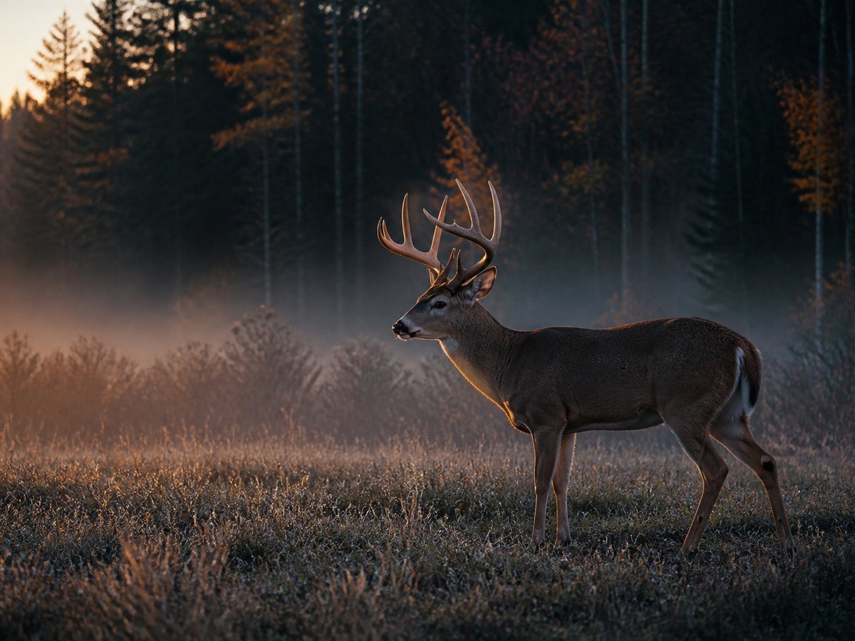
Observation and imagery
Useful information across large properties.
A planned aerial survey can cover more ground than a single fixed viewpoint and provide timestamped thermal observations, visual imagery, and mapped locations of visible animals.
Monitoring applications
Wildlife monitoring may support landowners, farms, golf courses, conservation projects, and environmental teams looking for current observations across open ground, travel corridors, field edges, water sources, or other priority areas.
Responsible flight planning
Every project is planned around airspace, property access, weather, habitat, animal behaviour, and the intended use of the information. Flights are conducted from an appropriate distance and are not intended to pursue, harass, or disturb wildlife.
Secondary service: game-animal recovery
When lawful and appropriate, aerial thermal search may also support the post-harvest recovery of a game animal using a confirmed last-known location and available tracking information. This is a secondary, case-by-case service rather than the primary focus of Thermal Track Canada. It is not a hunting aid, and recovery cannot be guaranteed.
Clear expectations
Thermal cameras detect surface-temperature differences. Although they do not see through solid objects, the aerial vantage point and multiple viewing angles can reveal heat signatures through surprisingly small gaps in heavy canopy. Timing, terrain, weather, animal movement, and the quality of the last-known information still affect what can be observed.