
Farm and rural search
Systematic coverage for large properties.
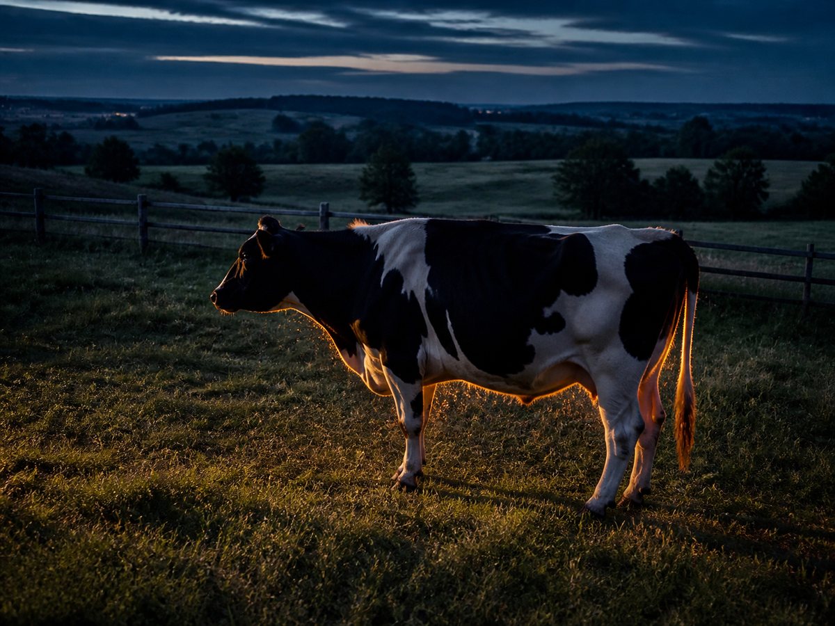
Thermal imaging can help locate visible heat signatures from cattle, horses, sheep, goats, and other livestock, especially when animals may be resting away from roads or buildings.
Useful information before we arrive
Share the animal count and description, last confirmed location, likely gaps in fencing, neighbouring property boundaries, water sources, shelter areas, and any recent tracks or sightings.
Search planning and access
Flights must be planned around legal airspace, people, buildings, livestock behaviour, and land access. Property permission and a clear understanding of hazards such as wires, towers, and active equipment help the search move safely.
Purpose-built for rural searches
Large rural properties are where aerial thermal search can add real value. High-resolution thermal imaging and systematic flight patterns help cover open fields, fence lines, water sources, bush edges, and likely travel routes quickly. Dense cover can be searched from multiple aerial angles to reveal heat signatures through small gaps, while openings, edges, and surrounding terrain provide additional visibility.